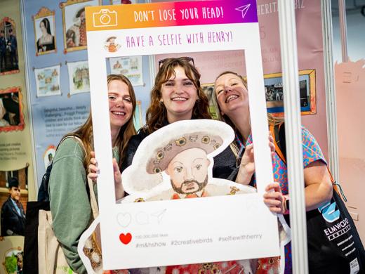
What's on
-
 FeaturedTradeshow8-9MayLondon Biotechnology Show
Dependent on applicability.
-
 Tradeshow24-25Apr
 -
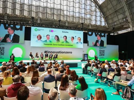 Tradeshow30-1Apr/MayInnovation Zero
From £199
-
 4-6MayHYROX
From £52
-
 Tradeshow10-11May
 -
 Tradeshow15-16May
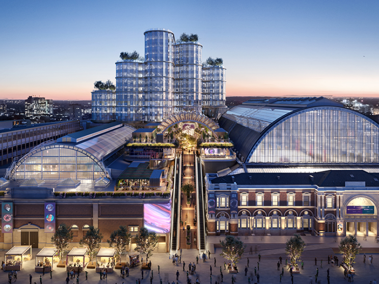
A new cultural landmark
Olympia Events is looking forward to our next chapter as we become part of something much bigger. A destination for culture, creativity and entertainment set to attract 12 million visitors each year.
Step into our future
Organise an event
With over 130 years experience hosting inspirational events, organising with us couldn't be simpler. No matter what the event, we have the perfect space for you
Exhibit with us
Want to make your exhibition space truly stand out? We offer a wide range of services to ensure your exhibiting experience is the best it can possibly be
Getting here
Located in the beating heart of London, Olympia Events is a well connected venue in London and is convenient for all. Plan your journey to us today
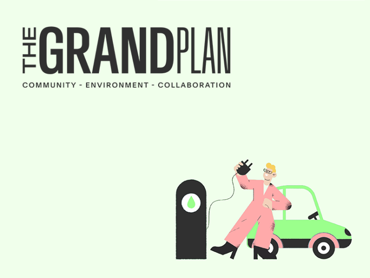
Just released
Collaborating with our partners to inspire positive change in the events industry and beyond, check out our annual Grand Plan Report, showcasing our ESG activity, impact and results from 2023.
Read full report